About us
Innovative Geospatial Solutions
About Our Project
LandSurv was created with the idea that aerial data can serve more than just maps – it can provide real answers to complex challenges.
-
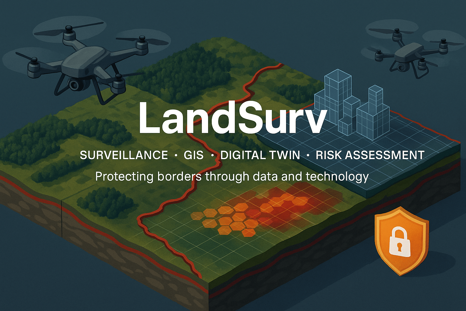
Integrated workflow – drone-based surveying, GIS, digital twin modeling, and risk assessment combined into one process.
-
Terrain analysis – studying permeability and identifying vulnerabilities with clear geospatial data.
-
Border security – supporting management projects, including collaborations with Frontex.
-
Actionable insights – transforming field data into practical results that help decision-makers act with clarity and confidence.
About Us
We are a small but committed team, driven by the belief that precision and responsibility matter more than big promises.
-
Focused expertise – combining knowledge in surveillance, geospatial analysis, and risk modeling.
-
Reliable solutions – building tools that are adaptable, clear, and easy to use.
-
Step-by-step approach – modest but ambitious, delivering results progressively and with care.
-
Real impact – making a difference in security, planning, and environmental studies.

Why Choose Us
We focus on clarity, precision, and responsibility in every project.
Our solutions combine surveillance, GIS, digital twin modeling, and risk assessment into a practical workflow that delivers reliable insights. By choosing LandSurv, you work with a dedicated team that values trust, transparency, and results you can use in the real world.
