Service Catalog

Practical Solutions, Real Impact
At KondorCAD LandSurv, we combine solid technical expertise with modern geospatial technologies to deliver reliable and innovative solutions. Our services cover surveying, cadastre, and GIS, designed to assist public administrations, companies, and individuals. Each project is managed with a focus on accuracy, efficiency, and legal compliance, making us a trusted partner for both private and public sectors.
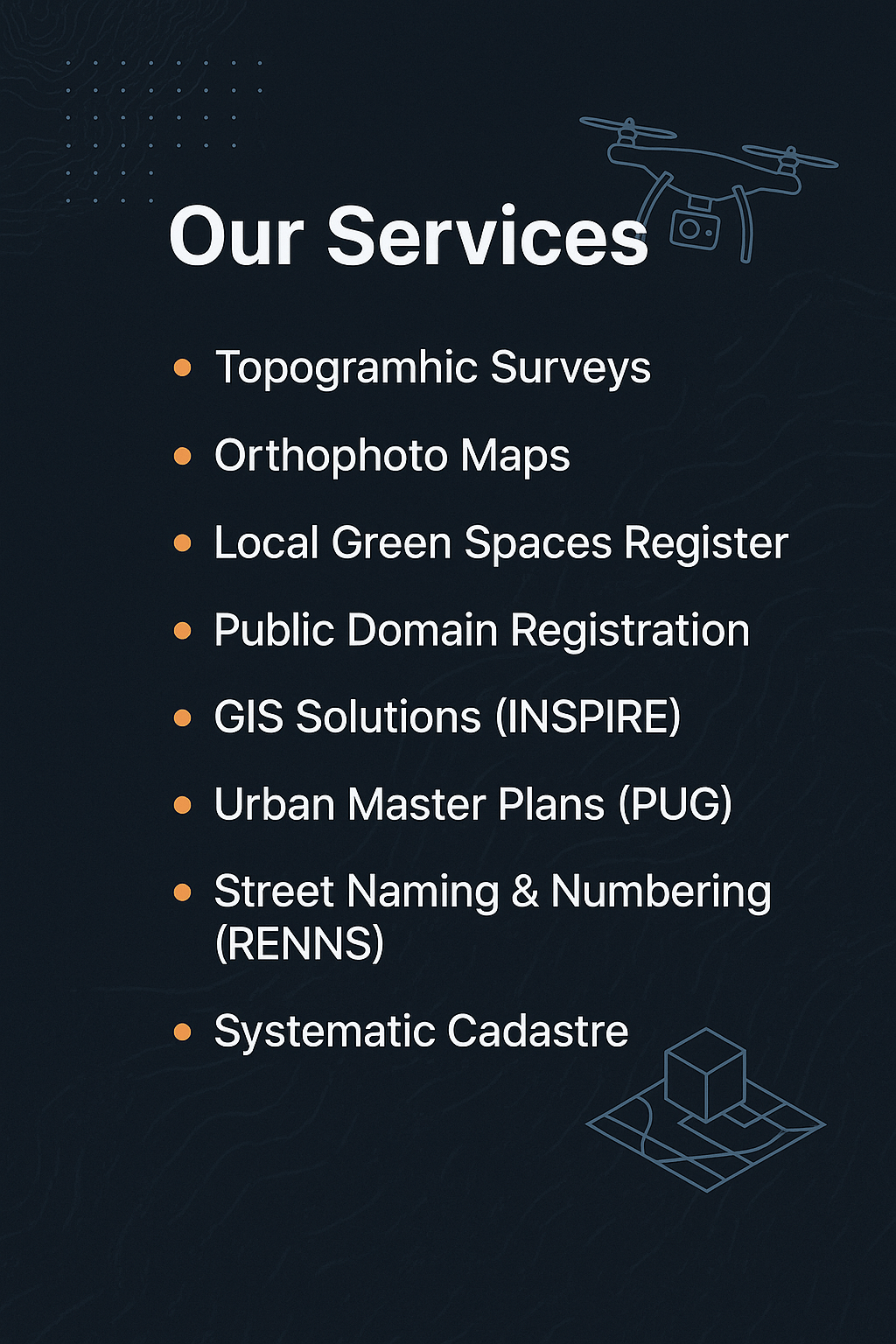
our services
Geospatial Expertise, Practical Results
We go beyond providing services – we build long-term partnerships. Our mission is to deliver geospatial solutions that empower decision-making, enhance transparency, and contribute to sustainable development. With precision and innovation at the core of our work, we support our clients in transforming their projects into reality.
Accurate measurements, smarter planning.
-
Topographic Surveys – foundation for infrastructure and development projects.
-
Orthophoto Maps – high-resolution aerial imagery for precision mapping.
Turning data into decisions.
-
GIS Solutions (INSPIRE Compliant) – advanced data integration for smart resource management.
-
Local Green Spaces Register – tools to support sustainability and environmental planning.
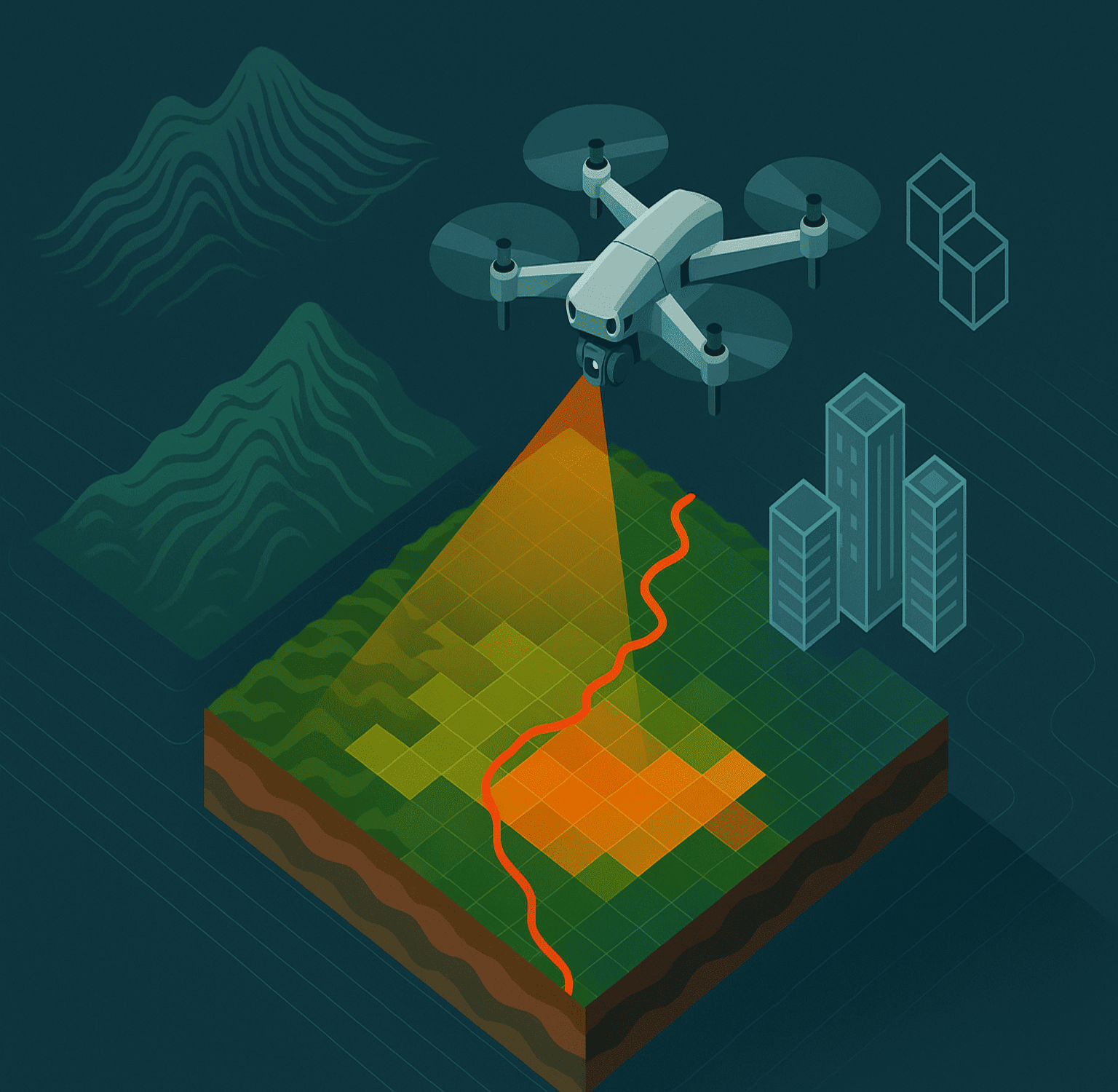
From aerial data to actionable insights

Dedicated to Accuracy, Innovation & Measurable Results
Our team of engineers, surveyors, and GIS specialists ensures that each deliverable meets the highest standards — from data collection to final modeling.


